
Breadalbane
Breadalbane has subtly different landscapes from the more obviously scenic Trossachs or the bonny banks. The early Romantic tourists are more or less silent on the ‘high ground of Scotland’ – the meaning of the word Breadalbane in its original Gaelic: Braghad-Albainn or brae-Alba. Instead of soft beauty, Breadalbane offers serious hill country – perhaps more appreciated by today’s breed of well-equipped walkers and nature-lovers, than by those timid Romantics!
Crianlarich railway station platform is just one viewpoint that gives a hint of the high ground. To the east, the tops of Ben More and Stobinian are distinctive – in fact, these twins have one of the most easily recognisable mountain profiles anywhere in Scotland. Southwards are the cluster of high hills around Crianlarich – certainly known to hill-walkers and ‘Munro-baggers’, including Cruach Ardrain with its conspicuous horse-shoe corrie facing Crianlarich.
To the west lie the hill group - all but out of sight from this point - of which Ben Lui is the best known. Finally, with its top just visible to the north is the less well-known Ben Chaluim and the other high tops beyond Glen Dochart – the very essence of Breadalbane – wild, with a sense of remoteness, over the horizon and away from roads – a territory only known to the hill shepherds and to hill-walkers. There are altogether at least 14 high summits within a ten mile (16km) radius of Crianlarich.
The geology is complex, the domed hills have hidden corries and crags with here and there outcrops of limestones ‘or ‘base-rich’ rocks. These support a variety of alpine plants, of which the purple saxifrage is perhaps the best known and emblematic of the area.

Tyndrum

Balquhidder

Killin

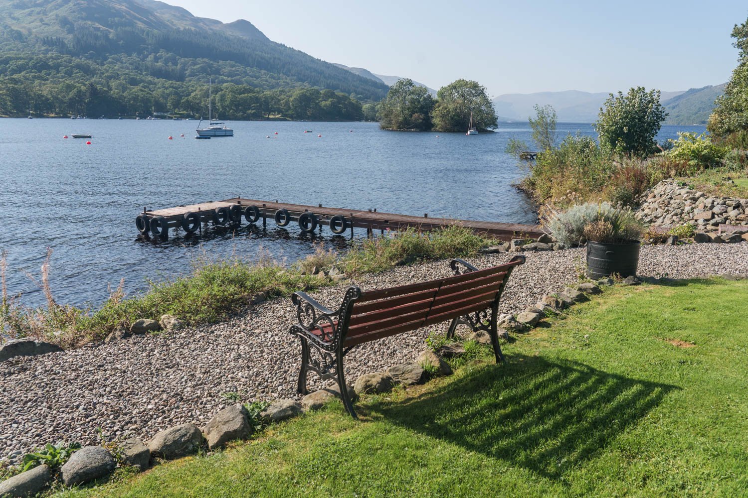
Loch Tay
St Fillans, Loch Earn

Glen Ogle
Breadalbane is not just high country. Historically it is also a meeting place in the centre of Scotland. The Celtic missionary St Fillan gave his name to Strath Fillan, today carrying road and rail, and brought together Gaels and Picts. A thousand years later, Strath Fillan, Glen Dochart to the east and Glen Falloch southwards were carrying large numbers of south-bound cattle, playing their part as important drove roads. Next, after the last Jacobite uprising, new roads were built to link Highland military garrisons. The military road built 1750-2 by General Caulfield between Stirling and Fort William passed through the area.
The important railway junction at Crianlarich still provides a vital service today, and the community, along with Killin, to the east, and Tyndrum, to the west, are all attractive locations that provide plenty for visitors to Breadalbane today - thus the wide glens below the high hills of Breadalbane are still through-ways and meeting places.
Visitors travelling on the A85 northbound beyond Callander, can see Strathyre as an introduction to this part of the Southern Highlands known as Breadalbane. The Rob Roy Way for walkers is accessible here, as are a choice of other forest walks. Here also is the way west into Balquhidder Glen, with its Roy Roy associations and further opportunities for discovering the old hill routes and through-ways. (These include the old pass through Kirkton Glen, which starts from Balquhidder Kirk.) The road-end towards Inverlochlarig is also a starting point for the Balquhidder Munros: seven big hills that include Ben More and Stobinian.
Visitors travelling on the A85 northbound beyond Callander, can see Strathyre as an introduction to this part of the Southern Highlands known as Breadalbane. The Rob Roy Way for walkers is accessible here, as are a choice of other forest walks. Here also is the way west into Balquhidder Glen, with its Roy Roy associations and further opportunities for discovering the old hill routes and through-ways. (These include the old pass through Kirkton Glen, which starts from Balquhidder Kirk.) The road-end towards Inverlochlarig is also a starting point for the Balquhidder Munros: seven big hills that include Ben More and Stobinian.
The main route into Breadalbane skirts the western fringe of Loch Earn, where Lochearnhead offers a variety of water-themed activities.
The main road then climbs into Glen Ogle. Famously, Queen Victoria passed this way in September 1842 - southbound, after a trip along Loch Tay to Killin – and made the oft-quoted entry in her diary that Glen Ogle resembled pictures of the Khyber Pass. Again the theme emerges, typical of Breadlbane, of communications crowded together in the narrow glen. As well as today's main road, the old military road can still be traced at the lowest level, with the trackbed of the former Callander and Oban Railway (closed 1965) on the western wall of the glen.
The former railway is now a popular walking and cycling route. The end-on view of Loch Earn from the start of the climb into Glen Ogle was formerly described as the very finest in the UK to be seen from a railway carriage. At least it is still seen by walkers and cyclists today!
Beyond the watershed, which has fine view of ‘The Tarmachans’ (Meall nan Tarmachan and the other tops eastwards), the road runs to Lix Toll (whose meaning is probably not the Latin numeral for ‘59’!). From the junction it is only a few minutes to Killin. Eastern gateway to the National Park, this is an old established Highland community and ‘scenic centre’ for visitors. Killin is bult around the bridging point of the River Dochart where the waters are confined by a series of rocky ledges. The bridge offers a spectacular view and the setting has been popular with generations of visitors.
The setting of the village is associated with Fingalian legend, as well as St Fillan (once again) while the local clan, the MacNabs, have a burial ground on a little island on the river (key available for visit). Killin is also Campbell territory. Sir Duncan Campbell of Glenurchy, (Donacha Dhu nan Curich or Black Duncan of the Cowl) famously built Finlarig Castle in the early 217th century. Its overgrown ruins can be seen today (over the river, towads Loch Tay) along with the ghoulish beheading pit adjacent. (At least, legend says it had that purpose.)
With plenty of accommodation and good local shops, plus angling, golf and an outdoor centre, plus an active local community, Killin is an excellent base for exploring Breadalbane. Two National Trust for Scotland properties are within easy reach: Moiirlanich Longhouse, a rare surviving example of a kind of farm building; also Ben Lawers National Nature Reserve with its alpine plants.
